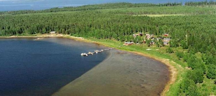
Stor-Räbben, Piteå (South)
Stor-Räbben is a very beautiful island, with a fateful and barren landscape unlike that found on the mainland. The island is part of a nature conservation area together with Lill-Räbben, Stenskär, Norra Bondökallen and Olsvenskallen.
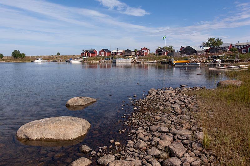
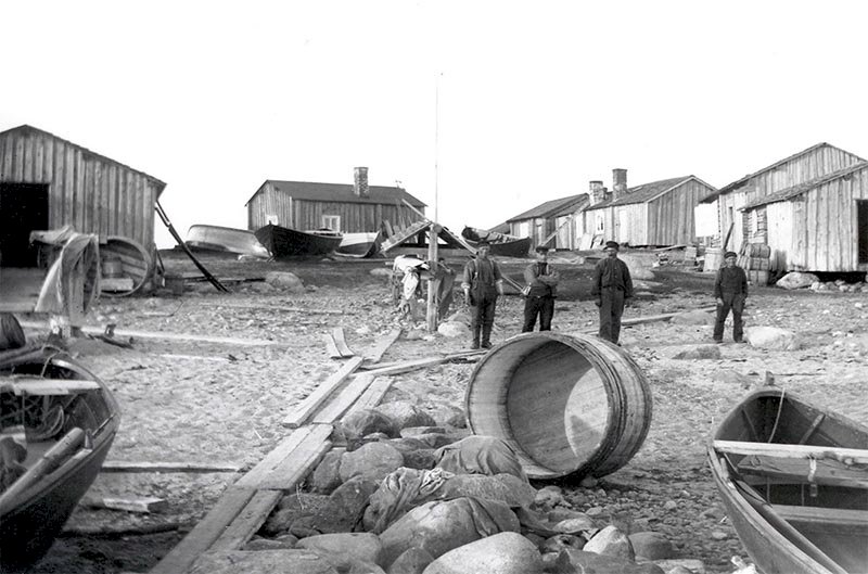
The height of the island, the salmon and the seals are just some of the things that make Rebben and its history so unique. Rebben is the highest of all Piteå’s islands at 18 metres above the sea. Thanks to its height, it drew attention to itself early among the islands in the region. The island’s seal-rich and fish-rich (herring and salmon) waters have been a popular location for seal hunters for over 1,600 years and for fisherman for around 500 years.
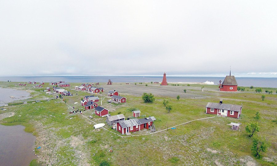
Rebben is known for its large, high sea mark that rises majestically in the middle of the island.
Rebben is the outermost outpost of the islands of Piteå, and to the east there is only the Norströmsgrund lighthouse and then Finland is next...
There are 17 cabins on the island, and these days they are used solely as holiday cottages, although in the old days they were of the utmost importance to the survival of the fishermen and their families. There is no electricity on the island, and water is collected from wells.
Facts
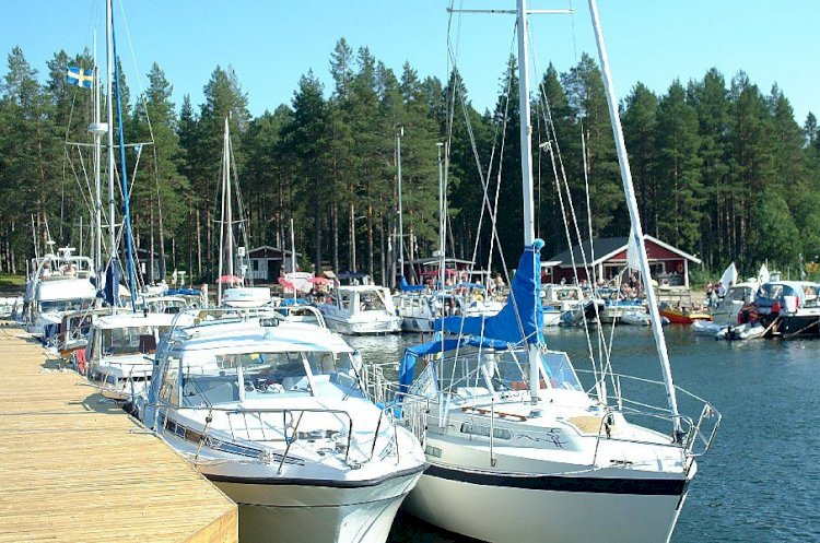
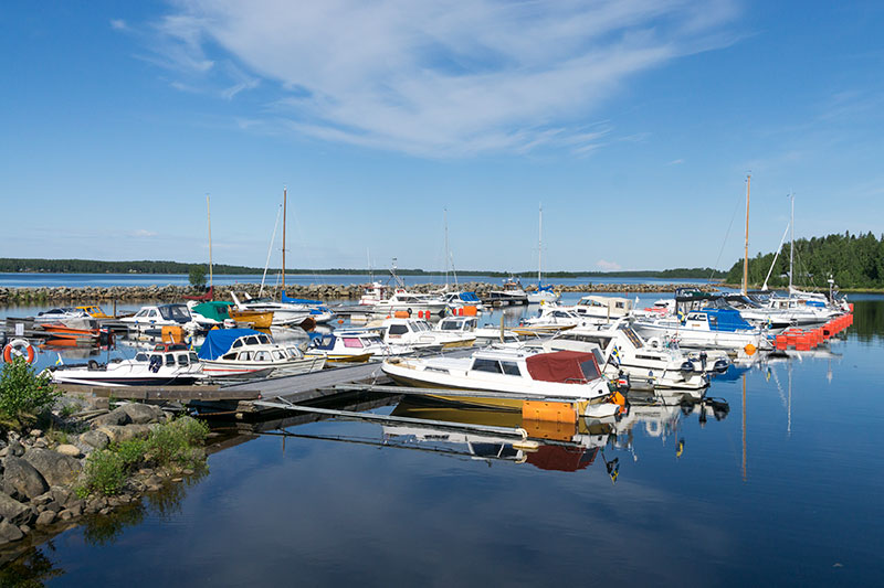
Excursion harbour/ nature reserve
Nautical chart 415, harbour depth: ?
Outhouse toilet, fireplace, wood, attractions and jetty
Cabin for rent - for booking please contact Piteå Tourist Centre
ph: +46 (0)911-933 90
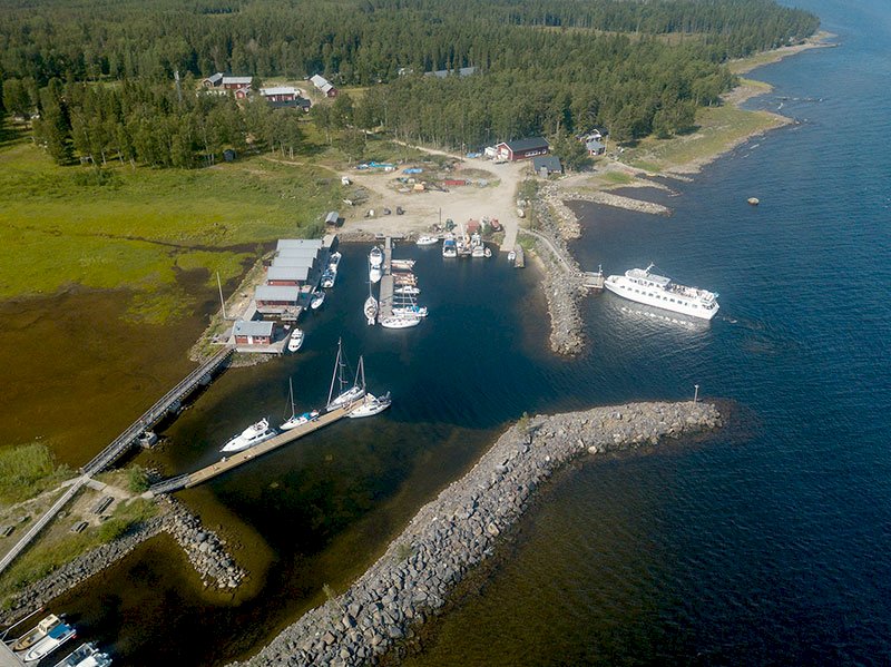
To reach the fishing village – when you are south of “Hyndan’s” southerly tip on Lill-Räbben, look out for the shallow to the SE which is 0.8 m deep. Proceed on course 354o east of the 0.8 m shallow. If you want to sail on the opposite side, you should proceed on course 174o. The water is at least 3 metres deep until 0.2 M from the shoreline.
Anchoring: if a strong southerly wind is blowing, anchor on the northern side. The bottom is sandy and shallow.
If a northerly or easterly wind is blowing, enter the harbour on the southern side. Follow the leading line markers on land carefully when making your approach.
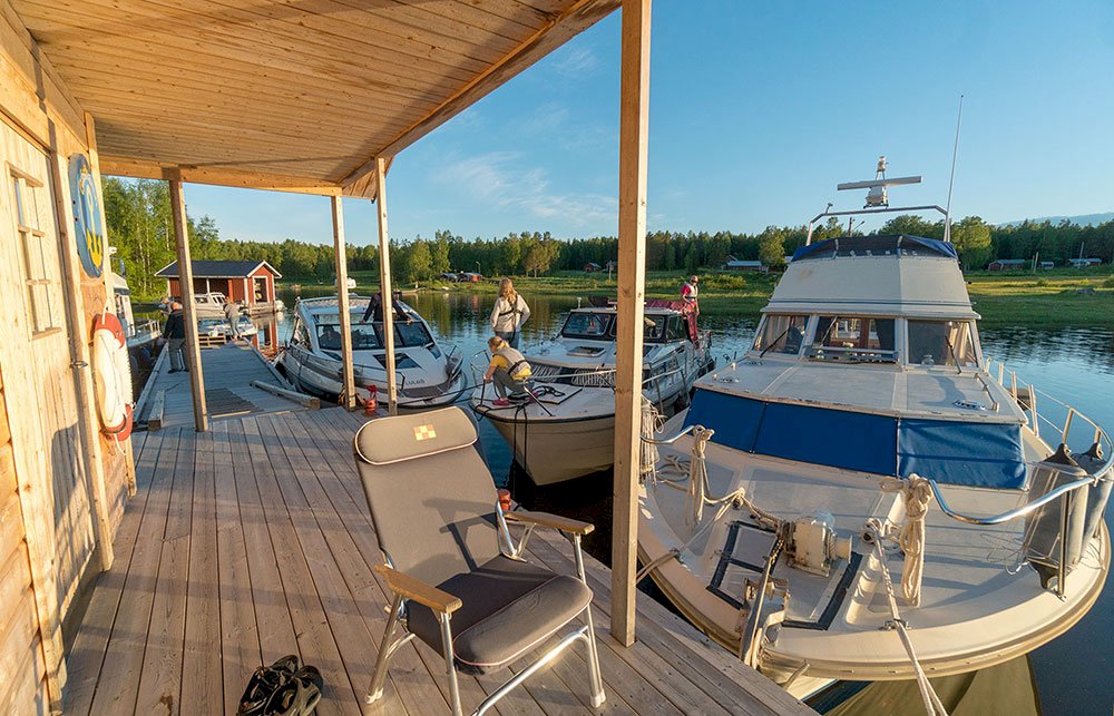
Jetty: private, but the islanders do accept guests. The public jetty is located at the pier.
History and protected nature
Norra Bondökallen and Olsvenskallen are protected bird conservation areas with nesting greylag geese, common eider and razorbill. It is forbidden to go ashore during the nesting season from 1 May to 31 July. On Stor-Räbben there are plenty of remnants from seal hunters and fishermen from the old days. The remnants include ancient labyrinths and foundations. These are gathered around the large beacon that crowns the top of the island. It is easy to find the beacon, just follow the trail from the quaint fishing village.
Nummerhällan
The water level marks are carved into a vertical rock, the highest mark is labelled 1750 while the lowest mark is labelled 1884. In those days people believed that the changes in water level were caused by the sea sinking. We now know that it is actually land elevation that is the reason for the changing water levels.
Please remember that the remnants must be looked after for the future in accordance with the Swedish Heritage Conservation Act. It is not permitted to move, dislodge, change or remove a remnant without prior permission from the County Administrative Board (or “Länsstyrelsen” in Swedish).