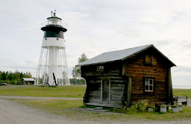
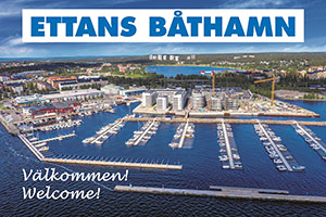
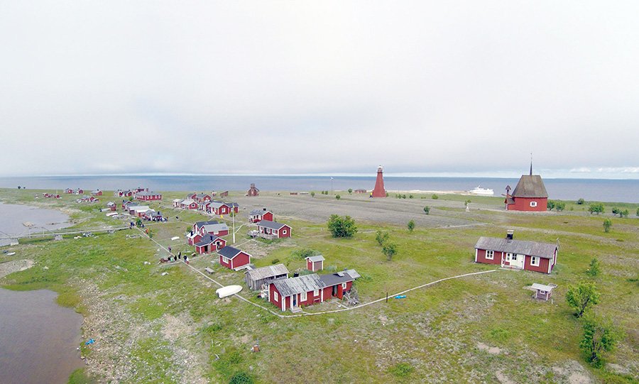
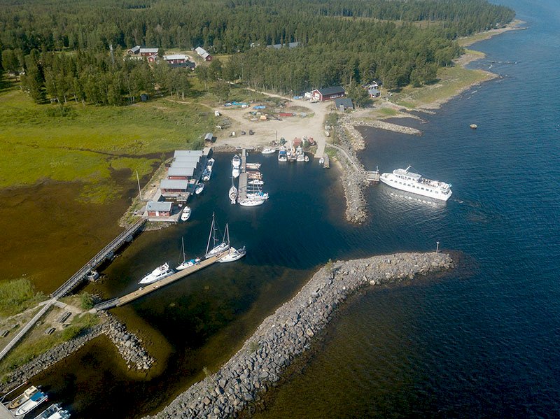
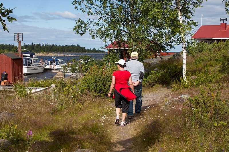
The Trail on Brändöskär, Luleå
Old fishing village, island chapel, beach suitable for swimming, walking tracks and tour boat. There is a cabin for rent.
The degree of difficulty is indicated by the various colour codes. Please note – certain stretches along a trail can contain different degrees of difficulty.
- Black – difficult and strenuous:
terrain with large rocks, fords, dense forest - Red – medium difficulty:
shingle beaches - Blue - normal:
mixture of undulating paths and light forest terrain - Yellow – very easy:
roads or easy to walk paths
See the map for the trail’s route.
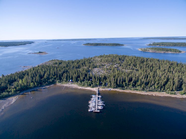
The trail around Uddskär
The trail begins by the sauna at the head of the bay. Go north past the toilet and follow one of the paths past the cabins. Veer off to the north-east down to the shore. Continue along the shore in a northward direction. The local endemic variety of eyebright grows at many places along the shore. Before the shore turns off to the west, there is a possibility to wade along an isthmus (two short fords and about 20-30 cm deep at normal tide). At the head of the bay the shore is difficult to walk along, which is why the ford is a good alternative. Continue along the shore until about 250 metres before the cape, where the forest thins somewhat. If you’re in luck you may be able to see redshanks moving at the edge of the shore. Turn to the left to visit one of the region’s least well-known labyrinths. This labyrinth is almost certainly one of the oldest in the region, given its height above sea level and how overgrown it is. Don’t touch the stones – the labyrinth is protected by the Swedish Heritage Conservation Act!
From here you can take a short cut down towards the western shore, or you can go back the same way you came and walk to the left along the shore. By taking the short cut down to the shore you save about 340 metres in distance.
Follow the shore to the north. At this point it is easy going in the varying terrain of shingle and heathland. There are also some outcrops that slop down into the sea. The prevailing wind in the region is south-easterly, southerly or south-westerly. When a southerly or south-easterly wind is blowing, the force of the entire Bay of Bothnia is directed at this shore, and mighty waves roll in and crash against the shore – it is an awesome sight! On the northern peninsula there are two leading line markers that show the way through the Estersön Peninsula.
Show consideration and pass behind the cabins. At the head of the bay an easy-to-walk path begins – follow that path. After about 500 metres the path swings off to the south-west. Choose to follow the path if you want to avoid coppice forest along the shore. The path winds its way through the forest and returns to the shore about 300 metres south-east of the cape at Dödmanören.
Pass behind the cabin and turn off to the south-west until you come to the shore on the western side of Uddskär.
To get back to Brändöskärs from here you follow the “Skärgård Trail”, please see that section for more details.