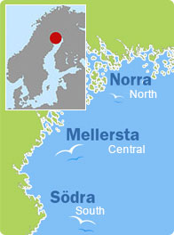
Kataja, Haparanda (North)
Facts
Nautical chart 411
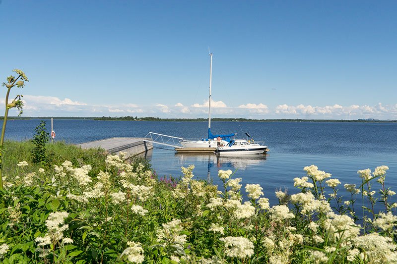
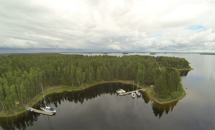
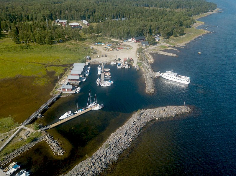
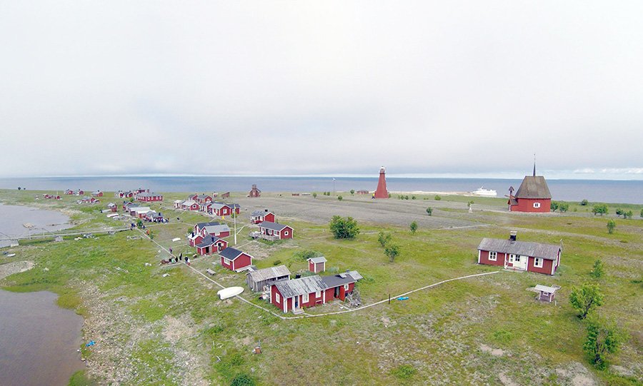
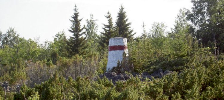
“Kataja” is Finnish for the juniper, and this island is right on the border between Sweden and Finland. On the Swedish, western part of the island, there are three private cabins. The border crosses the southeast part of Kataja and is marked by landmarks and a boundary.
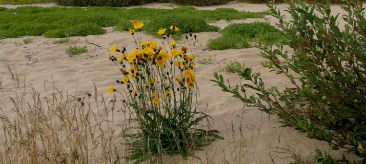
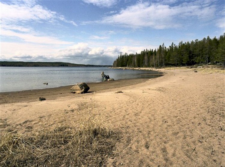
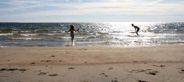
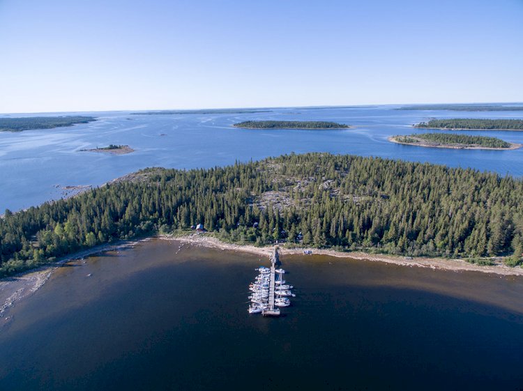
This is the easternmost place in Sweden. When the border was drawn, after the Finnish War in 1809, it separated Kataja and the smaller island Inakari. Due to land rise the two islands have emerged, which is why the island is divided between the countries. The border has also been revised. The beach here consists mainly of blocky beach and beach meadows, with a few elements of sand.
The eastern isthmus is dominated by deciduous forest with mainly rowan, alder and willow, while the central and western parts are dominated by coniferous forest. Kataja is located in the northern part of the Bothnian Bay, where land rise and the impact of the sea create dynamic conditions for the characteristic flora and fauna.