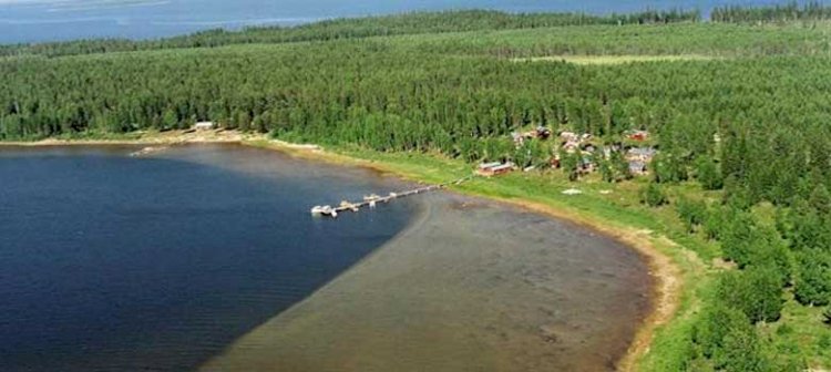
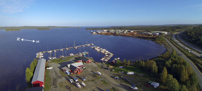
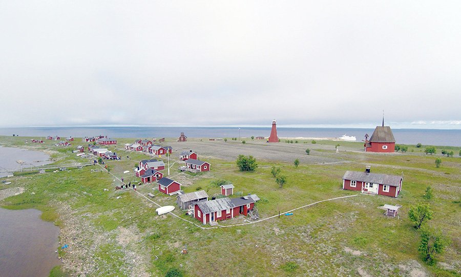
Hällorna, Skellefteå (South)
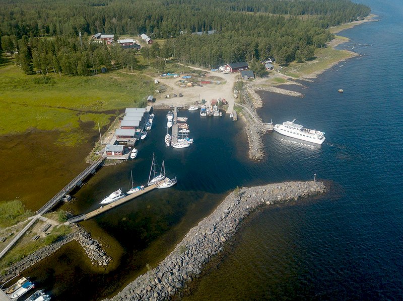
When you are at the northern marker at Tällögrundet, set your course for 180o. You sail in via two leading lines.
The entrance has a 1.8 m water depth at average sea level. The northern leading line, which you find to aft on your approach, can consist of painted spots sometimes reinforced with stakes.
Facts
Excursion harbour/ nature conservation area
Nautical chart 421
Outhouse toilet and attraction
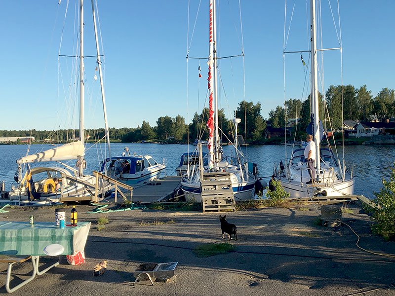
Anchoring
History
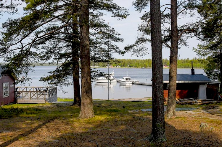
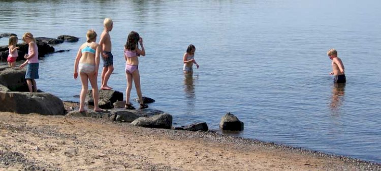
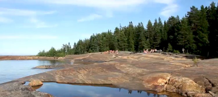
Hällorna is a nature conservation area that is most easily reached by boat. Thanks to the land elevation, a narrow connection to the mainland has developed which means that the area can also be reached on foot. Smoothly polished outcrops face the sea. The outermost outcrop is known as Trappman’s outcrop. A soldier called Trappman from Uttersjön sailed onto the outcrop during a stormy autumn night in 1863. The boat sank, and the man was able to get to shore. But he froze to death and was found kneeling with his hands clasped in prayer. The multitude of carvings on Hällorna bears witness to the fact that it has been a popular destination since the 1920s. The outcrops are also used regularly for sunbathing and swimming, and there is also a small sandy beach here. Sarastrand to the southwest of Hällorna is a very nice bay for swimming.